
- Home
- French Guiana
- Salvation Islands
Salvation Islands
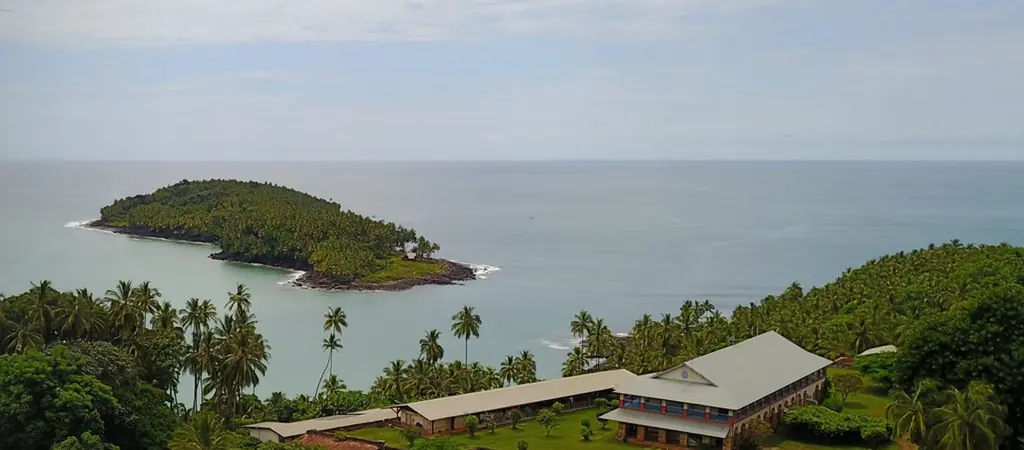
The three Salvation Islands, Royale, Saint-Joseph and Diable, lie off Kourou under the launch trajectories: they are evacuated during eastward launches and every flight there is subject to authorisation. Royale and Saint-Joseph are reached by boat from the Vieux Bourg harbour in Kourou; landing on Devil’s Island is prohibited. We surveyed Île Royale by photogrammetry and LiDAR in November 2023, Île Saint-Joseph in July 2024 and Devil’s Island in October 2024, with additional flights in June 2025, and photographed the Île Royale lighthouse in March 2024 during its detailed inspection by Cerema.
Key facts
| Surveys | Royale (November 2023), Saint-Joseph (July 2024), Diable (October 2024), additional flights in June 2025 |
|---|---|
| Missions listed | 5 |
On the map
5 missions at this location
Additional survey on Île Royale and Devil’s Island
LiDAR and photogrammetric survey of Devil’s Island
LiDAR and photogrammetric survey of Île Saint-Joseph
Drone imagery of the Île Royale lighthouse
On 6 March 2024, during the detailed inspection of the lighthouse by Cerema: photos of the inaccessible parts, sorted by face and element, from the pillars to the dome.
Read the articlePhotogrammetry and LiDAR survey of Île Royale
LiDAR and photogrammetric survey of Île Royale; Devil’s Island and Saint-Joseph followed in 2024.
Tell us about your project
Location, area or structure, expected deliverables and timing: with these details we can propose a method and a quote.
97310 Kourou
French Guiana
Route des Trois-Îlets
97229 Les Trois-Îlets
Martinique
20030-041 Rio de Janeiro – RJ
Brazil