
2026

Inspection and thermography
Juquiá complex: seven dams in five days of reconnaissance, then the faces of Serraria

Inspection and thermography
Measuring roofs by drone before solar panels go on, in Martinique and French Guiana

Surveying and LiDAR
The Saint-Pierre coastline at two centimetres per pixel, with twelve ground targets
Surveying and LiDAR
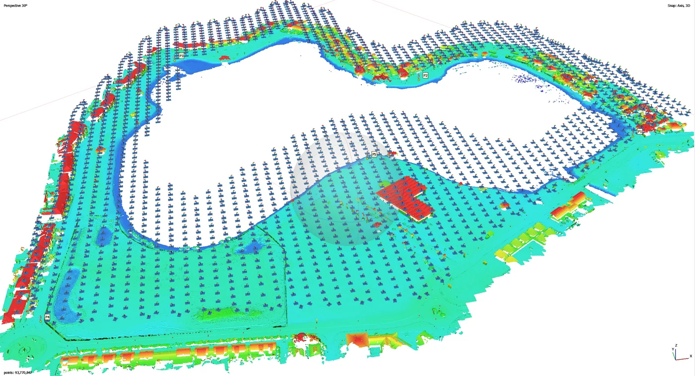
Canal de l’Ouest and Bois Chaudat lake: 34 reference photos and a 12 mm orthophoto to monitor erosion
Surveying and LiDAR
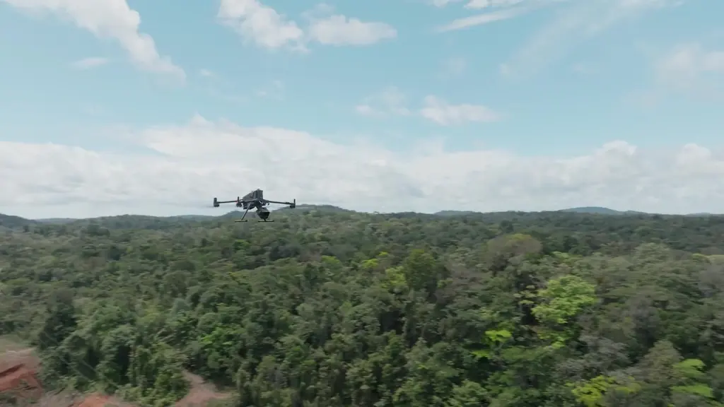
LiDAR under the Amazon canopy: the Matrice 400 and Zenmuse L3 join the fleet
Surveying and LiDAR
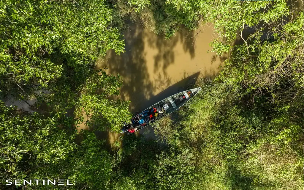
Crique Fouillée: locating the debris jams along 2.8 km of creek before dredging
Surveying and LiDAR
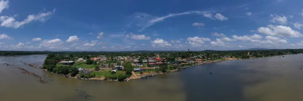
Saint-Laurent-du-Maroni waste storage facility: eight drone visits and two time-lapses since October 2024
Surveying and LiDAR
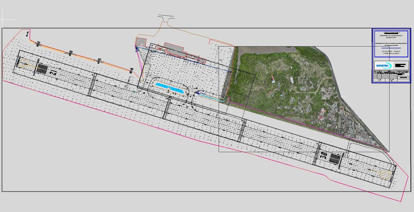
Grand-Case aerodrome: a LiDAR survey at 30 m beside an active runway
Surveying and LiDAR
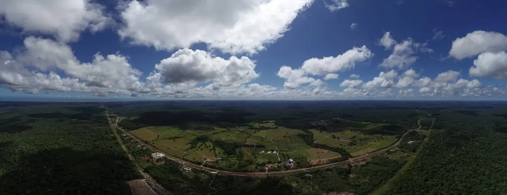
From Camopi to Saint-Laurent: seven years of aerial imaging for TDF sites in French Guiana
Surveying and LiDAR
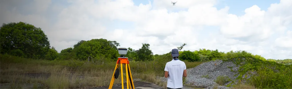
Jarry-Houëlbourg: 327 hectares of wetland mapped at 2.36 cm per pixel
Surveying and LiDAR
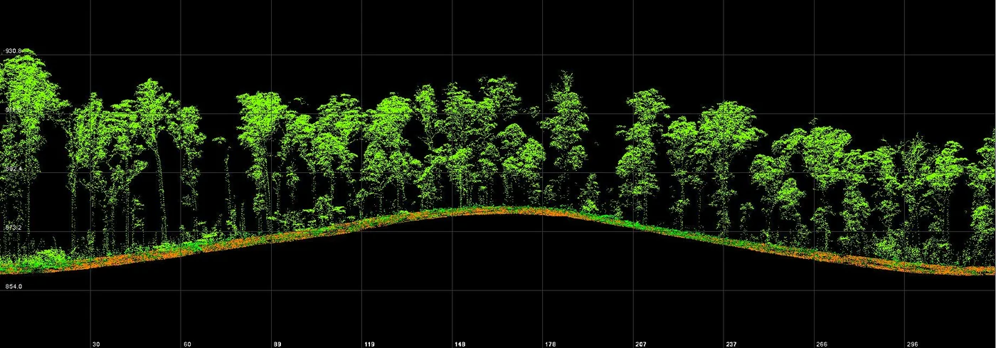
Four Maroni villages in three days: waste sites at 1 cm per pixel
Surveying and LiDAR
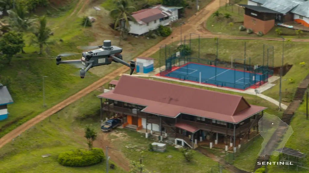
Galisbay, Saint-Martin: 30.5 hectares by photogrammetry, then the ground by LiDAR for the earthworks
Surveying and LiDAR
A 3D model of Cayenne hospital delivered in 24 hours for an architecture competition
2025
Surveying and LiDAR
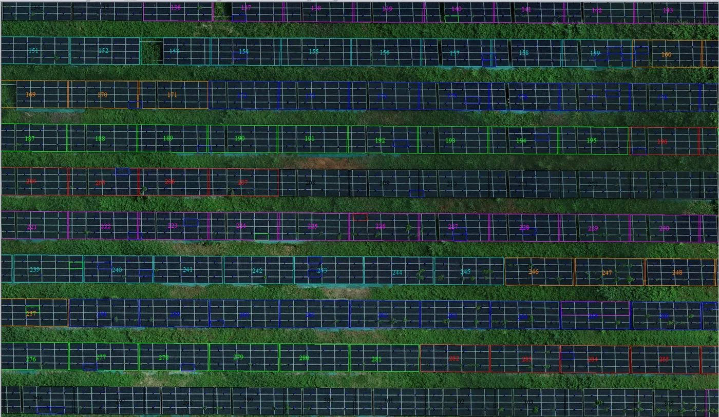
Corossony: 1,472 concrete footings surveyed at 2 mm per pixel before a solar plant was repowered
Surveying and LiDAR
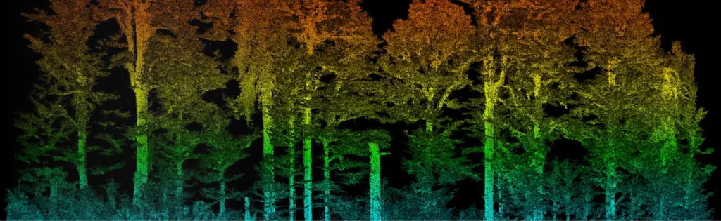
Inventorying the trees of a fully wooded plot, by LiDAR and photogrammetry, in Fort-de-France
Surveying and LiDAR
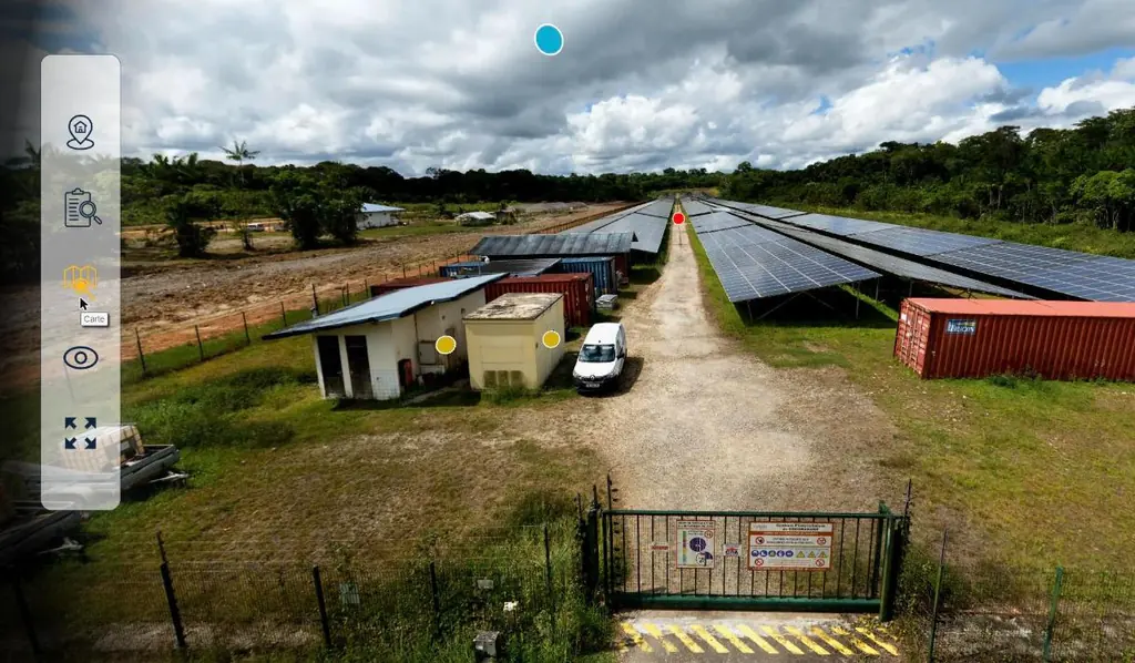
Coco Banane and Savane des Pères: 26 panoramas to visit two solar plants
Surveying and LiDAR
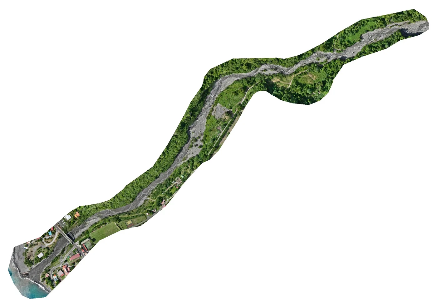
Le Prêcheur: 32 hectares surveyed at the river mouth during the lahar crisis
Surveying and LiDAR
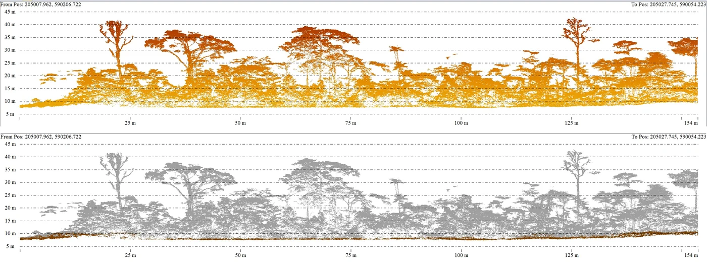
Two forest plots surveyed by LiDAR for the University of French Guiana, on the Approuague and in Sinnamary
Surveying and LiDAR
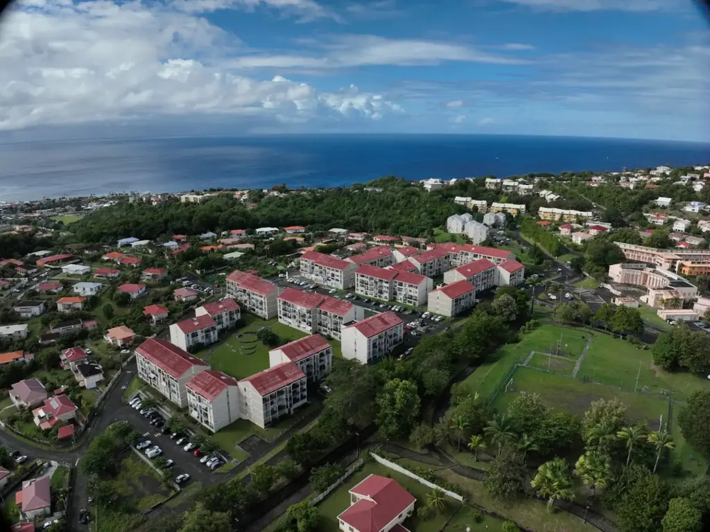
Three social housing estates in Martinique surveyed in 3D and delivered in the architects’ formats
Surveying and LiDAR
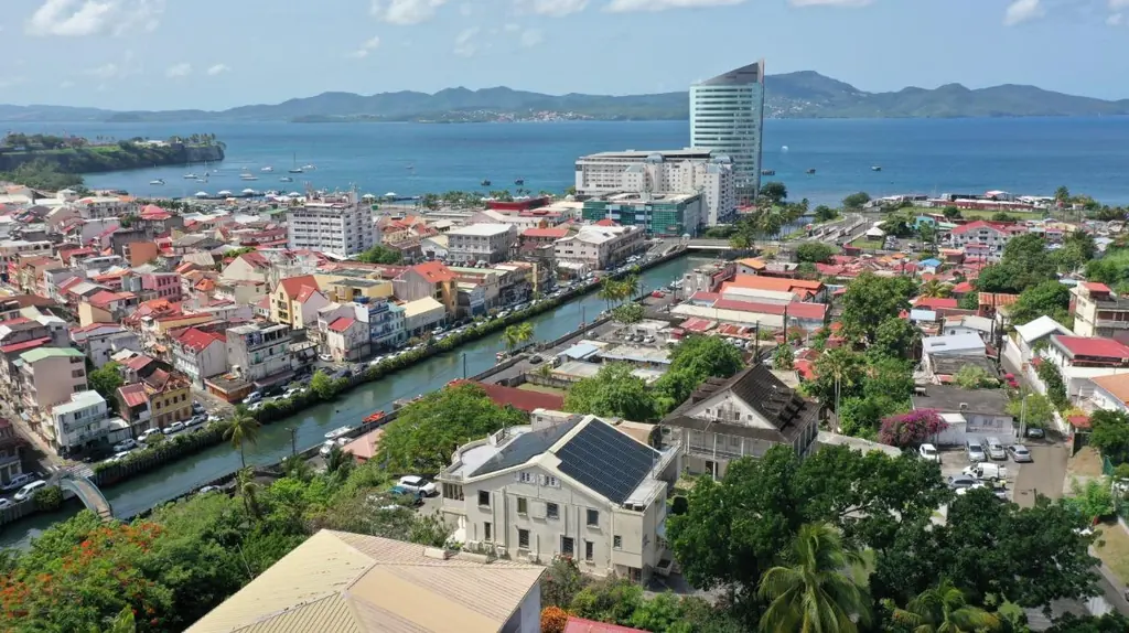
Shading studies: 162 rooftop solar plants modelled in 3D in Martinique, Guadeloupe and French Guiana
2024
Surveying and LiDAR
The three lakes of Kourou mapped at 13 millimetres per pixel
Surveying and LiDAR
Saint-Jean-du-Maroni: 125 hectares of the relegation heritage surveyed by LiDAR
Surveying and LiDAR
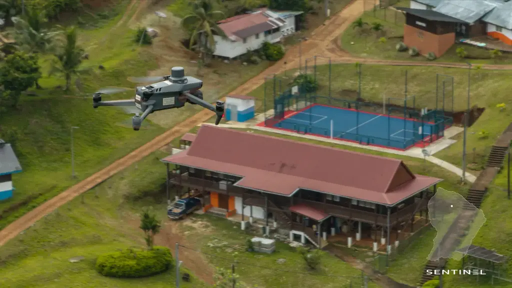
625 hectares in Saint-Élie, without a GNSS station within twenty kilometres
Surveying and LiDAR
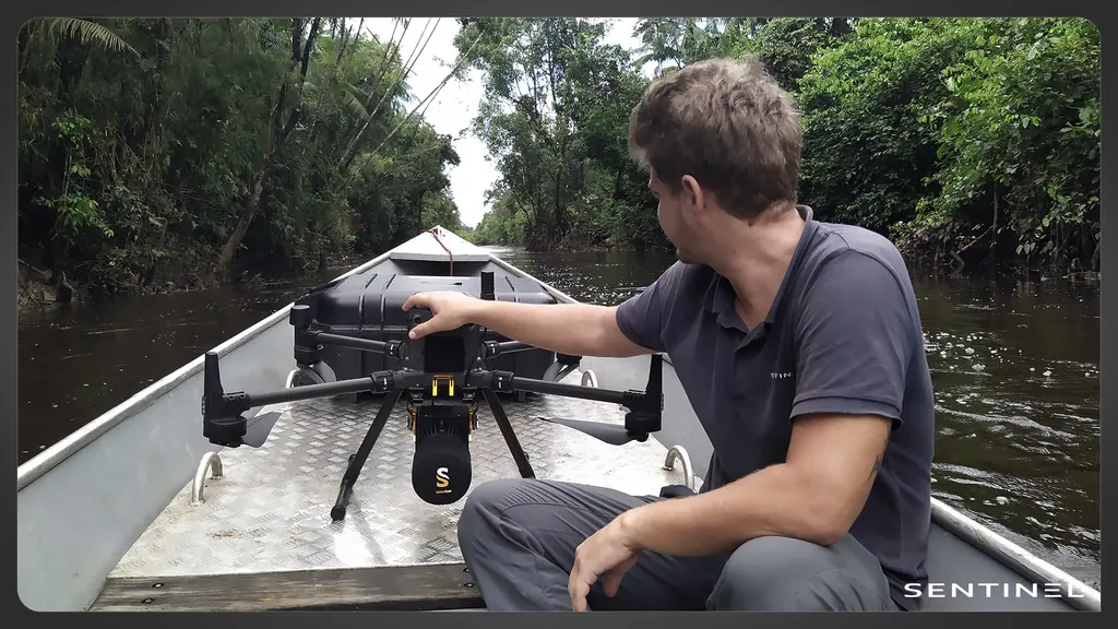
A 7.7 km canal surveyed by LiDAR from a pirogue, in the Kaw marshes

Surveying and LiDAR
12,647 hectares of 3.5 cm orthophotos for the land agency of French Guiana
2021
Tell us about your project
Location, area or structure, expected deliverables and timing: with these details we can propose a method and a quote.
French Guiana3 rue Gramme
97310 Kourou
French Guiana
97310 Kourou
French Guiana
MartiniqueDomaine de Château Gaillard
Route des Trois-Îlets
97229 Les Trois-Îlets
Martinique
Route des Trois-Îlets
97229 Les Trois-Îlets
Martinique
BrazilRua Santa Luzia, Centro
20030-041 Rio de Janeiro – RJ
Brazil
20030-041 Rio de Janeiro – RJ
Brazil